Advanced Backcountry Navigation: My favorite backcountry navigation apps, and a shout out to the Old School
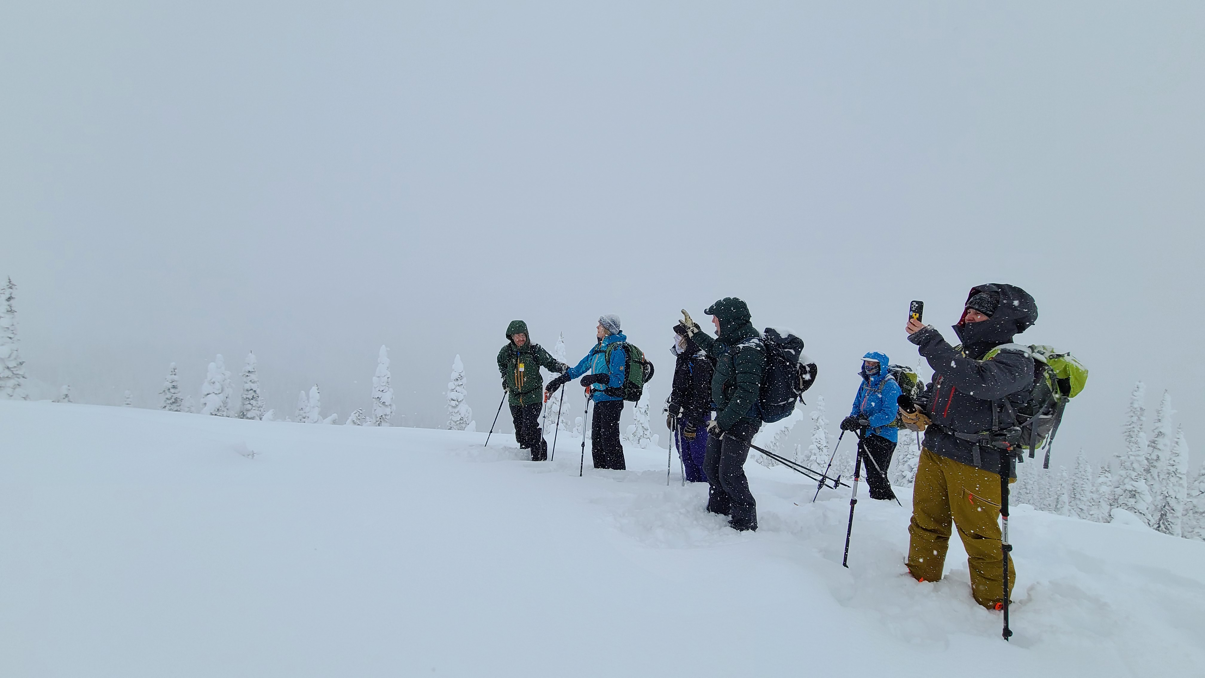
One of the greatest backcountry advancements occurred when the smartphone was equipped with GPS capabilities. This invention allowed backcountry users to place themselves on a map that was stored on their phones. Now many apps are competing with one another for backcountry navigation supremacy. I do not view any single app as "the one and only", rather I use a few different apps depending on the situation. Of course, it all works best in conjunction with a real map and compass.
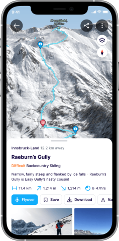
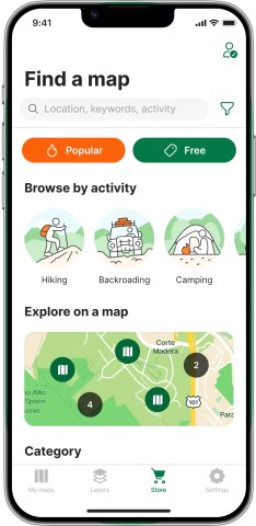
#1 FatMap: Your Interactive Adventure Companion
Speaking of maps, let's dive into FatMap – the adventurer's dream come true. FatMap is a digital mapping platform that offers interactive and highly detailed 3D maps, perfect for understanding the terrain you're about to conquer. These maps aren't just pretty visuals; they provide valuable overlays like slope angle, aspect, and potential hazards. With features like route planning, elevation profiles, and terrain analysis, FatMap is your companion for informed decision-making. FatMap can act like a social media site; you can check out other users' routes and post your own. Do not share all your secret spots, though. Best to keep things on the DL 😉.
FATMAP currently has the best terrain imagery of any program. They could improve the program by creating better topographic maps.
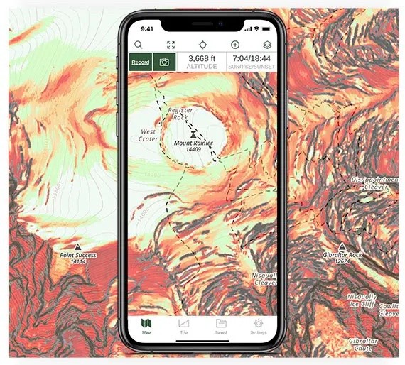
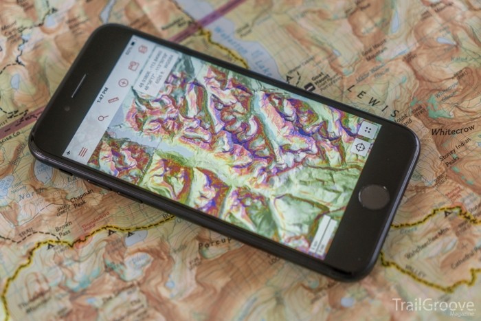
#2 Gaia GPS: Your Ultimate Backcountry Guide
Gaia GPS is another formidable contender in the world of digital navigation. This app combines comprehensive maps, tracking, and route planning capabilities to cater to backcountry skiers and outdoor enthusiasts. With Gaia, you can access many maps, including topographic, satellite, and road maps. You can layer maps and pick and choose from 100's of specific maps. The app's versatility makes it a favorite among those who crave both precision and convenience.
Gaia is the most straightforward program and has a great blend of topographic and satellite imagery. If there was one thing I wished it did better, it was to improve its customer service. Getting replies from Gaia on a technical issue can sometimes take a week. Don't forget to set your tracks to private so you don't blow out all your favourite places.
#3 CalTopo: Crafting Your Perfect Route
If you're all about customization and route planning, CalTopo has your back. This web-based mapping platform and app allows you to create detailed topographic maps and plan routes tailored to your adventure's needs. The app's layering system enables you to overlay various map types, weather data, and avalanche forecasts, empowering you with a comprehensive view of your surroundings.
What I like best about CalTopo is that if you are a map nerd looking for a tool that does everything, this is your app of choice. It is hard to find much they could improve upon.
#4 Avenza Maps: Your Digital Map Library
Imagine carrying an entire library of detailed topographic maps right in your pocket – that's the magic of Avenza Maps. This app allows you to download and access official topographic maps from various regions, even when offline. It's perfect for skiers who prefer traditional paper maps but want the convenience of digital accessibility. You can download Government of BC 1:20,000 topographic maps for free onto your phone and use the Avenza free version and you are off to the races.
What I like about Avenza is the price tag. If you use one area and are on a budget Avenza is your ticket. What I think they can improve is the user interface on smartphones. I dislike how it is designed. That might just be me though!
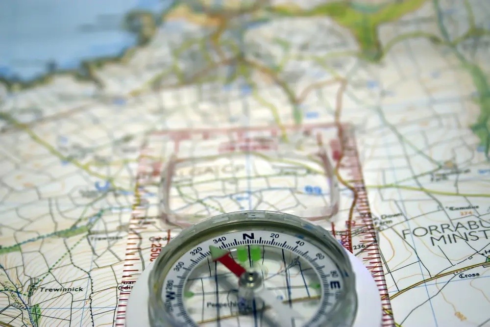
BONUS Map and Compasses: Old-School Charm and Reliability
Let's kick it old school! As we embrace modern technology, let's not forget the age-old map compass – a steadfast friend in the wild. While GPS devices provide precise location data, a map and compass serves as your true north, helping you maintain your place in the wild. Learning to read a map compass can be a lifesaver when navigating in the backcountry. Digital devices often fail and break down. Map and compass skills armed with knowhow will never fail (just hold on tight to your map in a wind storm and don't drop your compass)!
Navigational Mastery Unleashed
As experienced backcountry skiers, the mountains are our canvas, and navigation tools are our brushes. The blend of cutting-edge GPS devices, interactive mapping apps like FatMap and Gaia GPS, customizable planning with CalTopo, and the reliable companionship of Avenza, combined with maps and compasses empower us to explore with confidence. Happy navigating, adventurers, and may your journeys be as boundless as your courage!
Let me know in the comments which tools you use!
Backcountry 101: Traditional Navigation Course
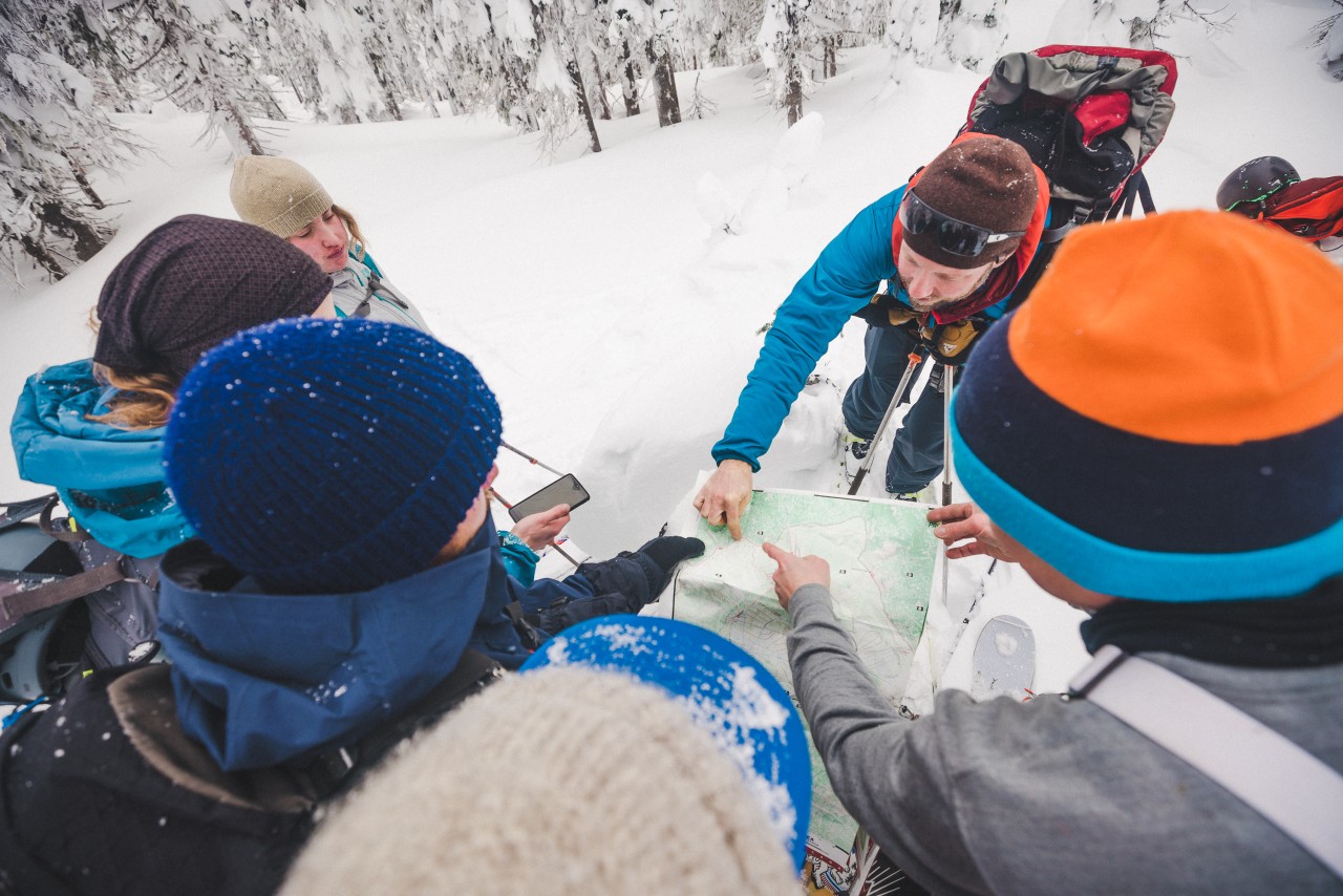
Modern GPS technology is highly valuable, but what will you do if technology fails? GPS satellites go down, mapping software has glitches, phones, and electronic devices break down, and batteries freeze and die. This is where traditional navigation skills become an essential part of your backcountry/outdoor toolbox.
This course is based in Nelson, BC, and is a half-day in-person classroom session followed by a half-day field session. You will learn to use traditional tools like maps and compasses to plan trips and navigate the backcountry. First, we meet together indoors to introduce you to concepts, teach you map and compass lessons, and how to use maps to plan a trip. Then we move outdoors to put your new knowledge to work.
23 24 Dates & Cost:
- October 22, 2023
- $167+tax
When you subscribe to the blog, we will send you an e-mail when there are new updates on the site so you wouldn't miss them.